Places to visit in Kodaikanal, and the order to see them
Start with Coaker's Walk in the morning, then the forest road: Green Valley View, Pillar Rocks, Guna Caves, the Pine Forest and Moir Point. After lunch, the Rose Garden, Bryant Park and a boat on Kodaikanal Lake. That is about 27 km by cab. A second day goes west to Poombarai and Mannavanur Lake, and a third to Dolphin's Nose and Berijam Lake, which needs a forest permit and is closed on Tuesdays.
19 placesroutes from road routing, timed against opening hours
How many days do you need?
Each plan is a real route by cab, timed against opening hours.
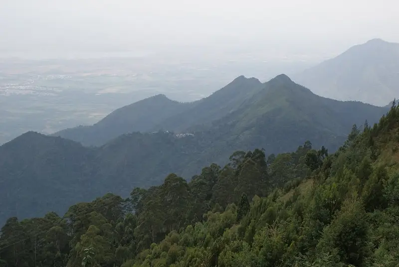
A paved path about 1 km long along the edge of a steep drop on the south side of town, laid out in 1872 by a British officer, Lt Coaker. On a clear morning you look down over the plains towards Periyakulam, and there is a small telescope house halfway along.
A railed viewpoint over a deep green valley, with the Vaigai dam far below on a clear day. It used to be called Suicide Point. The path in is lined with stalls selling tea, corn and homemade chocolate.
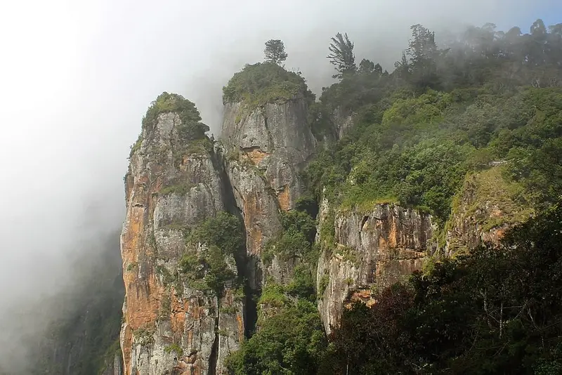
Three tall granite pillars, about 120 m high, standing side by side across a gorge. The viewpoint is a small fenced garden run by the forest department, about 7 km from the lake.
Deep cracks in the rock between tall pine-covered cliffs, once called the Devil's Kitchen. They took their name from the 1991 Tamil film Guna, and the 2024 film Manjummel Boys made them famous again. The caves themselves are closed: you walk a short forest path and look in from behind a railing.
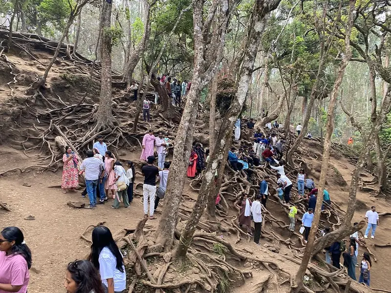
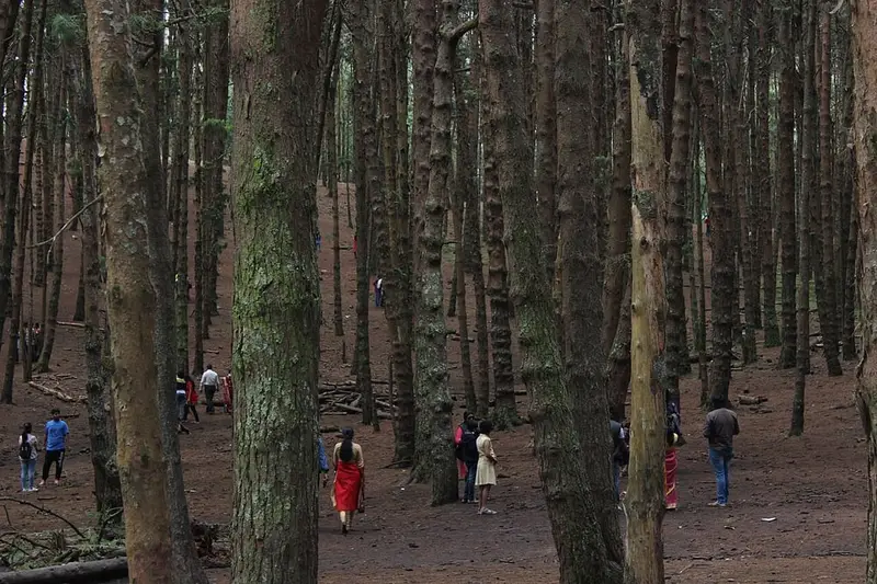
Rows of tall straight pines on a slope by the road, planted about a hundred years ago. Many Tamil and Malayalam films have been shot here. You can walk down among the trees on soft needles.
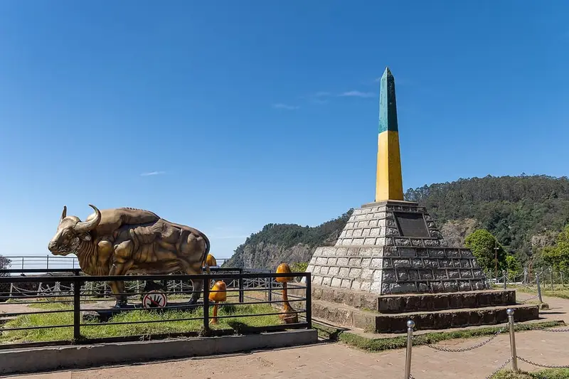
A viewpoint at the end of the town's forest road, named after Sir Thomas Moir, who built the road on towards Berijam. A memorial stone stands by the railing, with a view west over the shola forest. The forest checkpost for Berijam Lake is here.
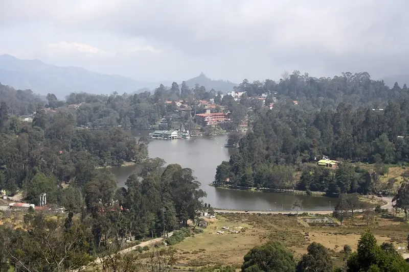
A roadside view from the hill above town, looking down on the star-shaped lake with the town round it. It is the best place to see the whole shape of the lake.
In the 1-day plan
Rose Garden
45 min
Parks & forests
A big terraced garden of roses run by the state horticulture department, on the slope below the Observatory Road. Paths wind down past beds of many hundreds of varieties, with a view over the valley at the bottom.
A botanical garden on the east side of the lake, laid out in 1908 by a forest officer, H D Bryant. It has lawns, flower beds, a glasshouse and old trees, and hosts the flower show in Kodaikanal's summer festival.
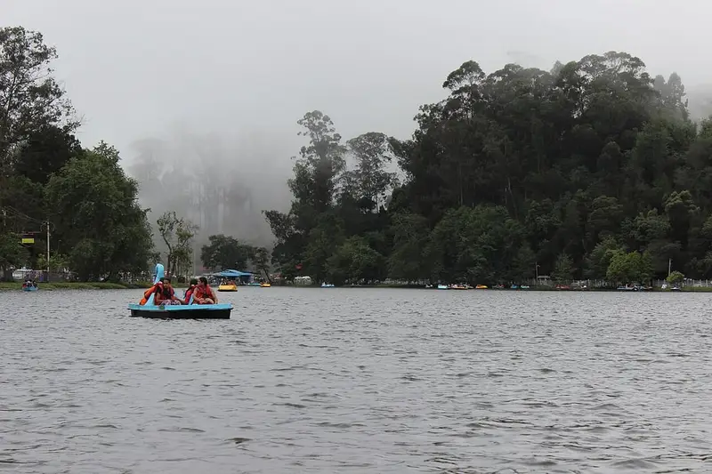
The star-shaped lake at the heart of town, made in 1863. You can hire a rowing boat, pedal boat or a boat with a boatman, and the 5 km road round the shore is good for a walk, a hired bicycle or a pony ride.
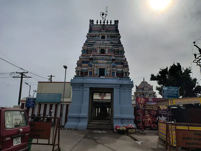
A Murugan temple on the hill north of town, built in 1936 and named after the kurinji flower, which covers these hills in blue once every twelve years. From the temple you look out over the plains towards Palani and the Vaigai dam.
Day 2 of the 2-day planPhoto: Rainer Halama, CC BY-SA 4.0
Solar Observatory museum
1 h
Museums & temples
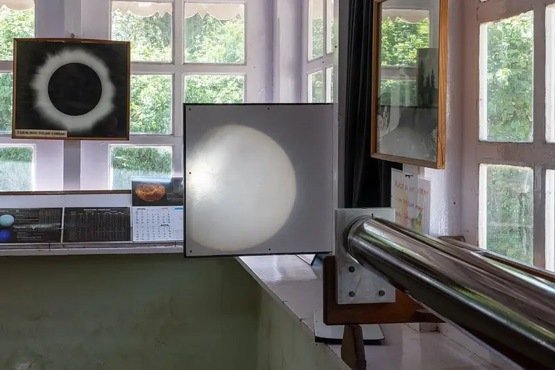
The Kodaikanal Solar Observatory, on the highest point of town, has watched the sun since 1899 and holds one of the longest daily records of sunspots in the world. Its small museum shows old telescopes, sun photographs and how the observatory works.
Day 2 of the 2-day planPhoto: Rainer Halama, CC BY-SA 4.0
Shenbaganur Museum
45 min
Museums & temples
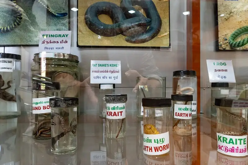
A natural history museum at Sacred Heart College, a Jesuit college founded in 1895, on the road down the ghat. It has hundreds of stuffed birds, animals and insects of the Palani hills, and an orchid house.
Day 3 of the 3-day planPhoto: Ezhilan stark, CC BY-SA 4.0
Berijam Lake
3 h
Lakes & falls
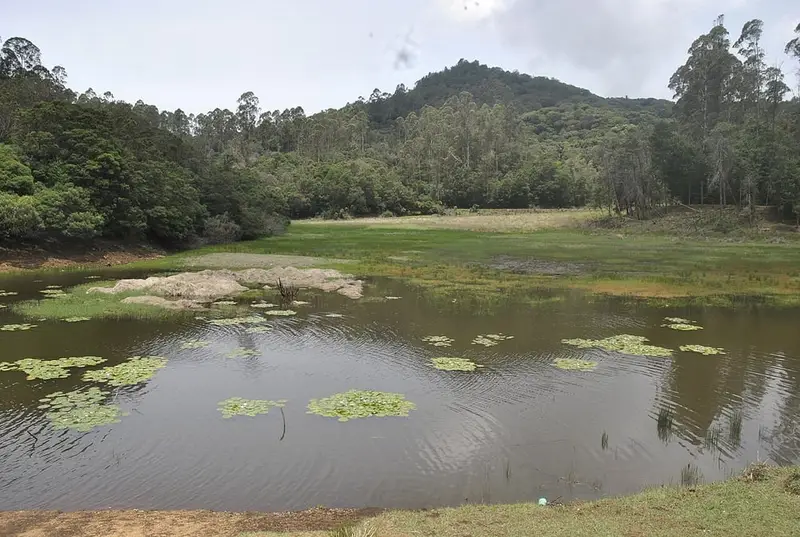
A quiet reservoir deep in the forest, about 21 km west of town past Moir Point. The forest road stops at Silent Valley View, Mathikettan Shola view and the Caps Fly Valley on the way, and gaur and deer are often seen. The lake supplies water to Periyakulam in the plains.
Day 3 of the 3-day planPhoto: JVN5871, CC BY-SA 4.0
Poombarai village viewpoint
1 h
Viewpoints & cliffs
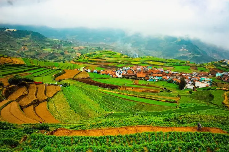
A roadside view over Poombarai, a hill village of stepped vegetable terraces about 18 km west of town. Down in the village is the old Kuzhanthai Velappar temple to Murugan, a short walk from the road.
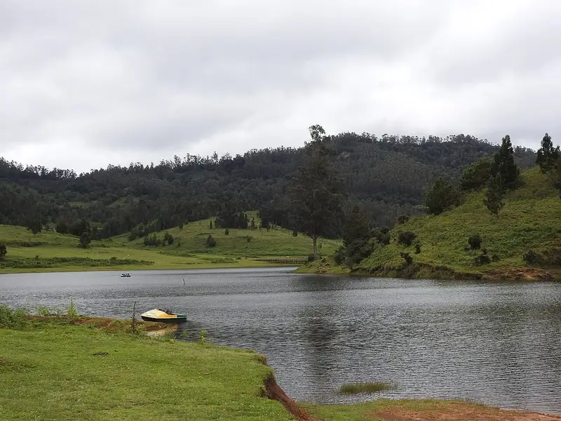
A lake in open grassland at about 2,000 m, 35 km west of town. The grassland round it belongs to a government sheep and rabbit research farm, and the forest department runs an eco-tourism site at the lakeside with walks and a watchtower.
Day 2 of the 2-day planPhoto: Challiyan, CC BY-SA 4.0
Silver Cascade Falls
20 min
Lakes & falls
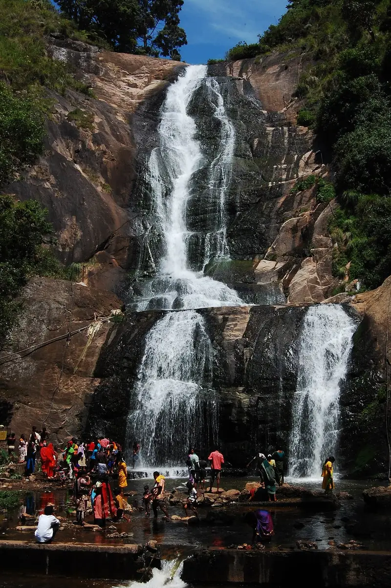
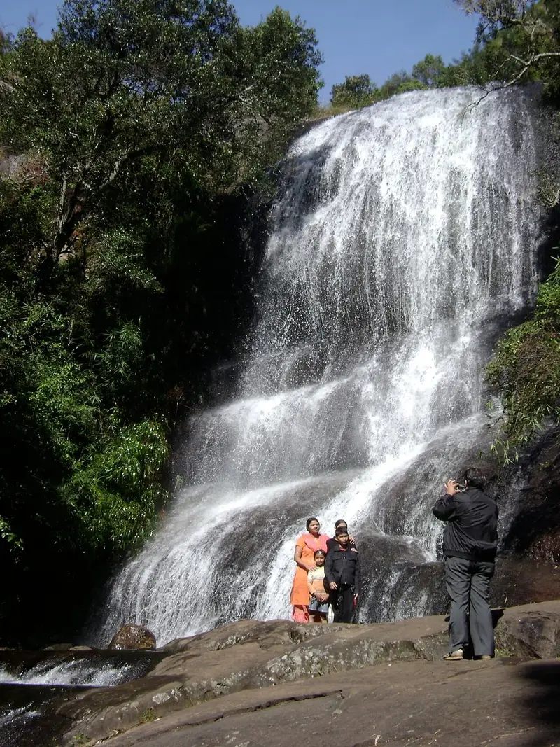
A waterfall that drops about 55 m beside the ghat road, about 7 km below town. Its water comes from the overflow of Kodaikanal Lake. Most people stop here on the drive up from Madurai or Batlagundu.
Day 3 of the 3-day planPhoto: Marcus334, CC BY-SA 3.0
Bear Shola Falls
40 min
Lakes & falls
A seasonal waterfall in a patch of shola forest about 2 km from the lake, named for the bears that once came to drink here. A short forest path leads to the foot of the falls.
Not in our plans. Add it if you have time.Photo: ACKSEN, CC BY-SA 4.0
Dolphin's Nose
2 h 30 min
Viewpoints & cliffs
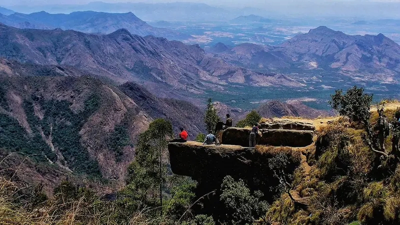
A flat rock that juts out over a sheer drop of hundreds of metres, below the village of Vattakanal south of town. The walk down from the road takes about 30 to 45 minutes each way through forest, past the small Vattakanal falls.
Day 3 of the 3-day plan
Questions people ask
How many days do you need for Kodaikanal?+
Two days for most visitors: one for Coaker's Walk, the forest viewpoints and the lake, one for Poombarai and Mannavanur Lake to the west. A third day adds Dolphin's Nose and Berijam Lake.
Do I need an e-pass to drive to Kodaikanal?+
Yes. Every outside vehicle coming into Kodaikanal needs a Tamil Nadu e-pass from epass.tnega.org, and in summer 2025 the Madras High Court also capped the number of vehicles a day. Your cab operator usually applies for it with the cab's number. The rules change from season to season, so check before you go.
Is Guna Cave open?+
The caves themselves are closed. You walk a short forest path from the road and look into the gorge from behind a railing. It is open from about 09:00 to 16:30 with a small forest department ticket.
What is the best time to visit Kodaikanal?+
October to June. April to June is the busy summer season, with the flower show at Bryant Park in May, so book early and expect traffic. The monsoon months bring mist that hides the viewpoints, but the waterfalls are at their best just after.
Is a full-day cab enough for Kodaikanal local sightseeing?+
Yes. The classic town and forest road day is only about 27 km, and the Mannavanur and Berijam days are about 70 km. Hill roads are slow, so a day takes the full 8 hours even at those distances. Check the hours and kilometre limit with the operator before you book.
How far is Kodaikanal from Madurai?+
About 115 km and three and a half to four hours by road, up the ghat from Batlagundu. Silver Cascade Falls is on the way up, about 7 km below town, so many people stop there on arrival.
Can I visit Palani from Kodaikanal?+
Yes, as a separate day: the Palani Murugan temple is about 65 km each way down the hill, so it is an outstation trip, not part of these plans.
When does the kurinji flower bloom?+
The neelakurinji covers the Palani hills in blue about once every twelve years. The last big bloom was in 2018, so the next is expected around 2030.